Pictures of May Lake to Ten Lakes, Yosemite
If you would like the original, high-resolution pictures, contact me
Notes of this trip | Back to California hikes | Pictures of the world
(If you have a slow-speed connection, click here for smaller pictures)

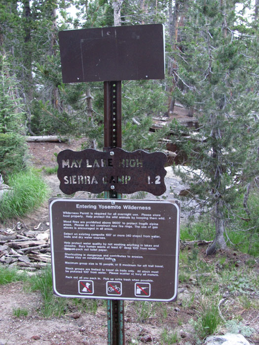
Beginning of the trail in the May Lake parking lot (multiply by 1.6 to obtain the distance)

Mt Hoffmann to the left

Arriving at the campground

Restrooms with water

May Lake camp
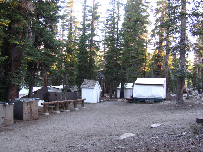
May Lake camp

May Lake camp

May Lake

May Lake

May Lake

May Lake

May Lake

May Lake
Mountain to the east

Mountains to the east from the first pass
Descending to the east of the pass
Descending
Wildflowers
Descending
Wildflowers
Descending
Wildflowers
Wildflowers
Junction with the trail from Tenaya Lake
Multiply by 1.6 to obtain the distance
Multiply by 1.6 to obtain the distance
Multiply by 1.6 to obtain the distance
Climbing to the second pass
Climbing to the second pass
Climbing to the second pass
Climbing to the second pass
Climbing to the second pass
Climbing to the second pass
Climbing to the second pass
Climbing to the second pass
Climbing to the second pass
Mountain to the northeast
At the pass

View from the pass
The lake on the other side
The lake on the other side
View north
Descending the north side
Descending the north side
Descending the north side
Looking back at the pass
Descending
Descending
Descending
Descending
Descending

View north
Little lake
Little lake
Little lake

The ridge to the west
Descending to the river
Descending to the river
Descending to the river
At the river
At the river
Crossing the river
Looking back at the river
View north
View north
Ascending again
Ascending again
Ascending again
Ascending again
Bristlecone Pine
Bristlecone Pine
Ascending again
View north
Marmot

View north
Another little lake
The trail
The first lake of the Ten Lakes basin
The first lake of the Ten Lakes basin
The first lake of the Ten Lakes basin
The first lake of the Ten Lakes basin
The first lake of the Ten Lakes basin

The first lake
Descending to the second lake
Descending to the second lake
Descending to the second lake
Descending to the second lake
Another lake in the distance

View of the lakes
Down to the lakes
The main lake
The outlet
The outlet
Ascending to the final plateau
Ascending to the final plateau
Ascending to the final plateau
Ascending to the final plateau
The cliffs of the plateau
Ascending
View of the lake where the trail started
Wildflowers

View of the lakes
Mt Conness?
Mt Dana?
Views of the lakes
Views of the lakes
Views of the lakes
Two lakes
One lake

View of the lakes
View northeast
The higher hidden lake
Last view of the main lake
The plateau above the third pass
The plateau above the third pass
The plateau of the third pass
Sign at the top
Grant Lake
Grant Lake
Grant Lake (then cross-country to the trail)
Back on the Ten Lakes trail: last creek crossing
Last creek crossing (multiply by 1.6 to obtain the distance)
Last creek crossing (multiply by 1.6 to obtain the distance)
View east
View east
View east
Ten Lakes trailhead (multiply by 1.6 to obtain the distances)
You can continue to Yosemite Valley
Ten Lakes trailhead parking lot
Ten Lakes trailhead parking lot
Back to California hikes
If you would like the original, high-resolution pictures, contact me