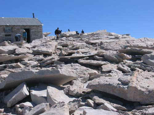
by piero scaruffi | Mt Whitney hiking notes | Mt Whitney's mountaineering trail
If you would like to purchase the original, high-resolution pictures, contact me
Other California destinations
Notes of this trip | Back to California hikes | Pictures of the world
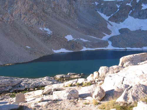
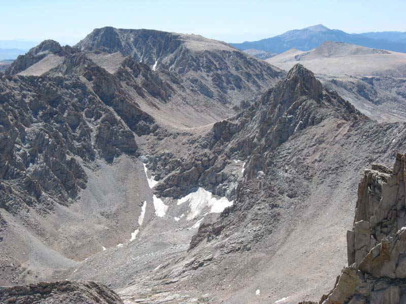
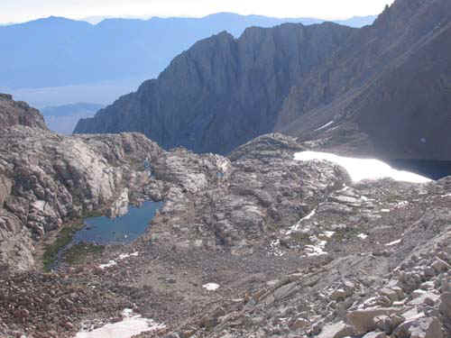
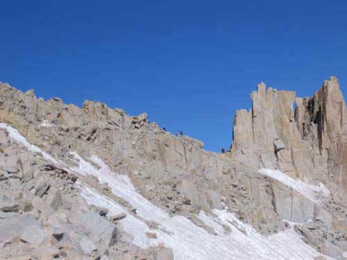
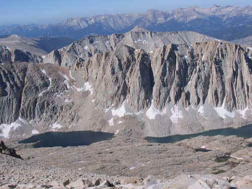
![]() Mt Whitney from Lone Pine |
![]() Overnight hikers campground |
![]() Waterfalls at Whitney Portal |
![]() The unmarked junction with the mountaineering route coming from the Whitney Portal |
![]() Towards Lone Pine Lake |
![]() Before Lone Pine Lake |
![]() Waterfall before Lone Pine Lake |
![]() The logs before Lone Pine Lake |
![]() Junction with Lone Pine Lake |
![]() At Lone Pine Lake |
![]() Lone Pine Lake |
![]() Above Lone Pine Lake |
![]() Bureaucracy at work |
![]() Above Lone Pine Lake |
![]() Meadow |
![]() Meadow |
![]() Meadow |
![]() Meadow |
![]() Meadow |
![]() Meadow |
![]() Towards Mirror Lake |
![]() Mirror Lake |
![]() Mirror Lake |
![]() Mirror Lake |
![]() Mirror Lake |
![]() Mirror Lake |
![]() Mirror Lake |
![]() The logs before Mirror Lake |
![]() The creek at Outpost Camp |
![]() Just before Outpost Camp |
![]() Crossing the creek at Outpost Camp |
![]() Outpost Camp |
![]() The creek at Outpost Camp |
![]() Waterfall at Outpost Camp |
![]() Outpost Camp |
![]() Meadow from above |
![]() Outpost camp |
![]() Outpost Camp |
![]() Towards Mirror Lake |
![]() Almost at Mirror Lake |
![]() At Mirror Lake |
![]() Mirror Lake |
![]() Mirror Lake |
![]() Lone Pine Lake |
![]() Trail above Mirror Lake |
![]() Mirror Lake |
![]() Mirror Lake |
![]() Mirror Lake from above |
![]() Meadow from above |
![]() Lone Pine Lake |
![]() Above Mirror Lake |
![]() Mirror Lake from above |
![]() Towards Consultation Lake |
![]() First views of Crest and Mt Muir |
![]() Before Consultation Lake |
![]() Towards Consultation Lake |
![]() Consultation Lake |
![]() The trail to Base Camp |
![]() Towards base camp |
![]() Consultation Lake |
![]() Towards base camp |
![]() Almost at Trail Camp |
![]() Towards Trail Camp |
![]() Marmots feasting on camper's food at Trail Camp |
![]() Aggressive marmot |
![]() Trail Camp from the switchbacks |
![]() View from base camp |
![]() Base camp |
![]() Mt Whitney all the way to the right |
![]() Marmot |
![]() Up the switchbacks |
![]() Poop bag left by hikers |
![]() View from the switchbacks |
![]() The switchbacks |
![]() The handrail |
![]() View from the switchbacks |
![]() Peaklets of the Crest and Mt Muir |
![]() The Crest, 4145m |
![]() At the Crest |
![]() Trail Crest sign |
![]() View east from the Crest |
![]() At the Crest |
![]() View from the Crest |
![]() The Crest, 4145m ("ft" is a unit of measurement of the ancient Roman empire that is still used in some backwards parts of the former British Empire) |
![]() Hitchcock Lakes from the Crest |
![]() Hitchcock Lakes |
![]() On the other side of the Crest |
![]() JMT junction |
![]() Junction with the John Muir trail |
![]() Peaklet at the junction with the John Muir trail |
![]() The 96 switchbacks to the Crest |
![]() Guitar Lake |
![]() Hitchcock Lake and Guitar Lake |
![]() View north |
![]() Mt Muir |
![]() Flowers |
![]() The brutal last 3 kms |
![]() The first view of the summit |
![]() Towards the summit |
![]() View east from between two of the teeth |
![]() View north |
![]() View north |
![]() Flowers |
![]() The summit |
![]() The summit |
![]() The summit |
![]() The summit |
![]() The summit |
![]() The summit |
![]() View from the summit |
![]() The summit |
![]() Iceberg Lake |
![]() View from the summit |
![]() View south |
![]() Marmot |
![]() USGS marker |
![]() USGS marker |
![]() The fancy register | ![]() The summit plaque (still in feet???) | ![]() Marmot |
![]() Rocks of the summit |
![]() View north |
![]() Keeler Needles |
![]() Hitchcock Lake |
![]() USGS marker |
![]() Iceberg Lake to the right, the Russell-Whitney barrier in the middle, Russell's south face to the left |
![]() Mt Russell and Carillon |
![]() The Russell-Whitney notch from Mt Whitney |
![]() The chute that we climbed and Iceberg Lake |
![]() Owens Valley and the whole mountaineering route to Mt Whitney |
![]() Mt Langley in the distance |
![]() Close-up of Mt Langley |
![]() Marmot |
![]() Mt Russell's south face |
![]() Mt Russell's south and east ridges |
![]() Panorama northwest (click to enlarge) |
![]() Panorama northeast to Mt Williamson (click to enlarge) |
![]() From the Great Western Divide to the Palisades |
![]() From the Great Western Divide to Mt Williamson |
![]() The summit house |
![]() The summit register |
![]() Summit sign |
![]() View south |
![]() Summit house |
![]() View north |
![]() Mt Russell, Barnard, Williamson... |
![]() Mt Russell |
![]() Mt Russell |
![]() Mt Williamson |
![]() The Barnard plateau |
(Copyright © 2003 Piero Scaruffi | Legal
restrictions)
If you would like to purchase the original, high-resolution pictures, contact me