Pictures of Mt Shasta's West Face
If you would like the original, high-resolution pictures, contact me
Notes of this trip | Back to California hikes | Pictures of the world
 Shastina and Shasta from the freeway |
 Shasta's southeastern ridge |
 Bunny Flats trailhead |
 Bunny Flats trailhead |
 Bunny Flats trailhead |
 Bunny Flats trailhead |
 Bunny Flats trailhead |
 Bunny Flats trailhead |
 Towards Horse Camp |
 Towards Horse Camp |
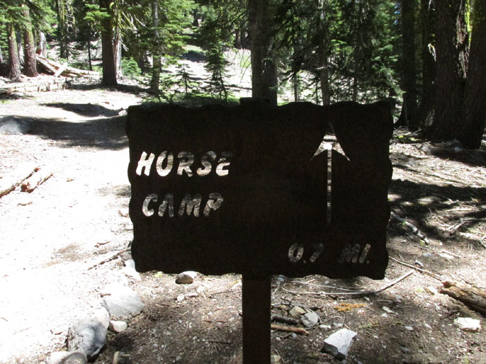
 Horse Camp |
 Horse Camp |
 Towards Hidden Valley |
 Towards Hidden Valley |
 Towards Hidden Valley |
 Towards Hidden Valley |
 Towards Hidden Valley |
 Towards Hidden Valley |
 Towards Hidden Valley |
 Towards Hidden Valley |
 Towards Hidden Valley |
 Towards Hidden Valley |
 Towards Hidden Valley |
 Towards Hidden Valley |
 Shastina |
 Shasta |
 Shastina and Shasta |
 Shasta |
 Shastina and Shasta from Hidden Valley |
 Shasta's west face |
 Hidden Valley |
 Hidden Valley |
 Shasta's west face |
 Shasta's west face |
 The route from Hidden Valley |
 The two routes up from Hidden Valley |
 The two ways to avoid Cascade Gulch |
 The ridge to the right of Cascade Gulch |
 The chute to the left of Cascade Gulch |
 Ridge to the right of Cascade Gulch |
 To the right of Cascade Gulch |
 Way to go |
 The ridge to the south that creates Hidden Valley |
 Hidden Valley from above |
 The valley to the west |
 Shastina in the background |
 Way to go |
 Ridge to the south |
 The valley to the west |
 Hidden Valley down there |
 Almost at the top of the Class 1-2 ridge |
 Ditto |
 Ditto |
 Looking back at Hidden Valley |
 Panorama of the West Face all the way to Avalanche Gulch |
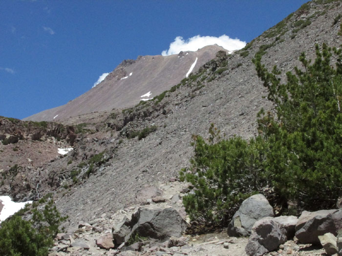
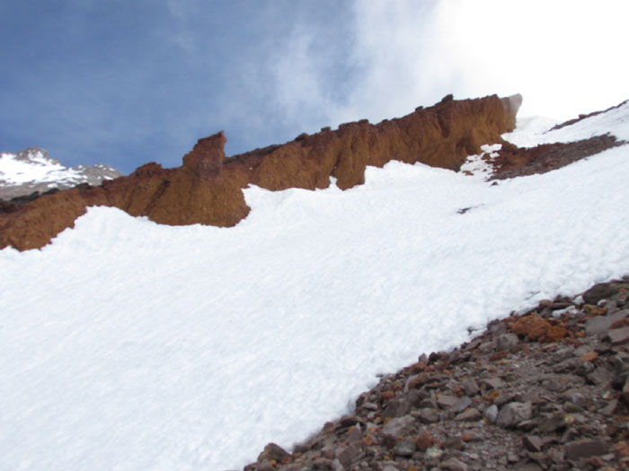
 The chute of the red fangs |
 The red fangs at the top of the chute |
 Cascade Gulch is to the left of the Red Fangs Chute |
 The route to the Red Fangs |
 None of these is the summit |
 Looking back |
 Towards the left fang |
 In the Red Fangs Chute |
 First view of Misery Hill (far away to the right) |
 The left fang |
 The fangs |
 Turning around the left fang |
 Great view of Red banks and the Thumb |
 Great view of the Avalanche Gulch route |
 The saddle at the top of Cascade Gulch |
 The saddle (the steep slope of Cascade Gulch to the left, the much less steep Whitney glacier to the right) |
 View of the valley to the west |
 Looking west from the glacier |
 Looking west from the glacier |
 Across the glacier: Misery Hill (the summit is covered by clouds) |
 The clouds open for a second and you can see the summit |
 The summit |
 The lake at the saddle |
 The lake at the saddle |
 Cascade Gulch from the saddle |
Views and videos from the top: Avalanche Gulch route or Clearcreek route
Back to California hikes
If you would like the original, high-resolution pictures, contact me